Check out our Getaway Guide online or have us send you one. Have an immediate question? Call us at 1.800.337.5015
Get the Guideby: Mary Grace Kauffman
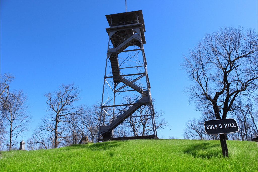
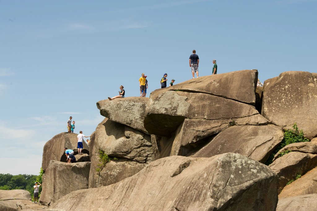
If you’ve traversed the rocky boulders at Devil’s Den, climbed Culp’s Hill or watched the sun set from Little Round Top, you’ve stood on geologic formations millions of years in the making.
The landscape of Gettysburg had a major influence on the Civil War battle that took place here July 1, 2 and 3, 1863, prompting scholars to study the battle from a geological perspective.
About 200 million years before the Battle of Gettysburg, tectonic plates shifted to create the Gettysburg Formation, made of sandstone, siltstone and shale, according to the National Park Service. Magma later squeezed between rock layers and cooled, forming diabase. Wind and water eroded softer materials and left behind the hardest rock, shaping the landscape we see today.

During the Civil War, geologic and topographic maps would be valuable assets to those maneuvering across the battlefield. Rocky terrain could help or hinder military efforts, shielding soldiers from bullets or impeding the transportation of supplies.
Union troops found useful vantage points along the high ridges and hills in Gettysburg created from geological activity. Confederate troops spilled across valleys and lowlands, hoping to push their enemy off Cemetery Ridge, Culp’s Hill, Little Round Top and Big Round Top. The high ground held by the Union proved to be a significant advantage during the battle.
Downhill from Little Round Top, you’ll find the iconic boulders of Devil’s Den that got their shape as they weathered over time. The boulders formed from diabase outcrops.

Fierce fighting took place there July 2, where rocks provided cover and strategic defensive positions.
Approximately 5,000 soldiers fought a bloody battle, ending with the Confederates’ capture of Devil’s Den. More than 1,800 men were killed, captured, wounded or missing, according to the American Battlefield Trust. Surviving soldiers ranted about the awful, rocky landscape.
Soldiers left their mark on the battlefield in more ways than one. If you know where to look, you’ll find names and regiment numbers carved into rocks. “A.L. Coble 1st NC REG.” is carved into a rock overlooking Spangler’s Meadow in the Culp’s Hill area.
A rock carving at the top of Little Round Top marks where Brigadier General Strong Vincent fell at Little Round Top on July 2, 1863. During the fight, he stood atop a boulder and yelled, “Don’t give an inch.” He was badly wounded and died five days later.
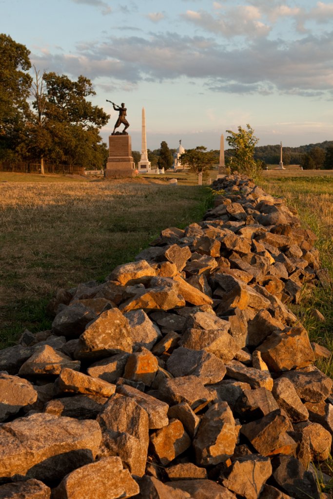
Thousands of rocks, stacked one on top of the other and held together by nothing but gravity, are a familiar sight to anyone who has driven through the national park. Some of these low stone walls date back to the 19th century when farmers stacked rocks to mark their properties’ boundaries and contain farm animals, according to The Gettysburg Compiler.

During the Battle of Gettysburg, these walls were repurposed by soldiers to provide cover, build breastworks and hinder the enemy’s approach. You can see an example of a defensive wall at the Angle along Cemetery Ridge.
After the battle, farmers began to rebuild these stone walls, but time and weather have caused many to crumble.
From the lowest stone walls to the behemoth boulders of Devil’s Den, you just have to gaze upon these formations in person. When you walk the Gettysburg landscape, you can begin to understand the natural barriers soldiers faced here in 1863.


Check out our Getaway Guide online or have us send you one. Have an immediate question? Call us at 1.800.337.5015
Get the GuideDon’t miss a thing that’s going on in Gettysburg; sign up to receive our fun and informative travel planning newsletter.
Let's Go